Research
Our work is organized around three connected themes: the structure of the lithosphere, the physics of earthquake ruptures, and the geohazards experienced at the Earth's surface. Each uses dense fiber-optic observations and careful inference.
Lithospheric Structure
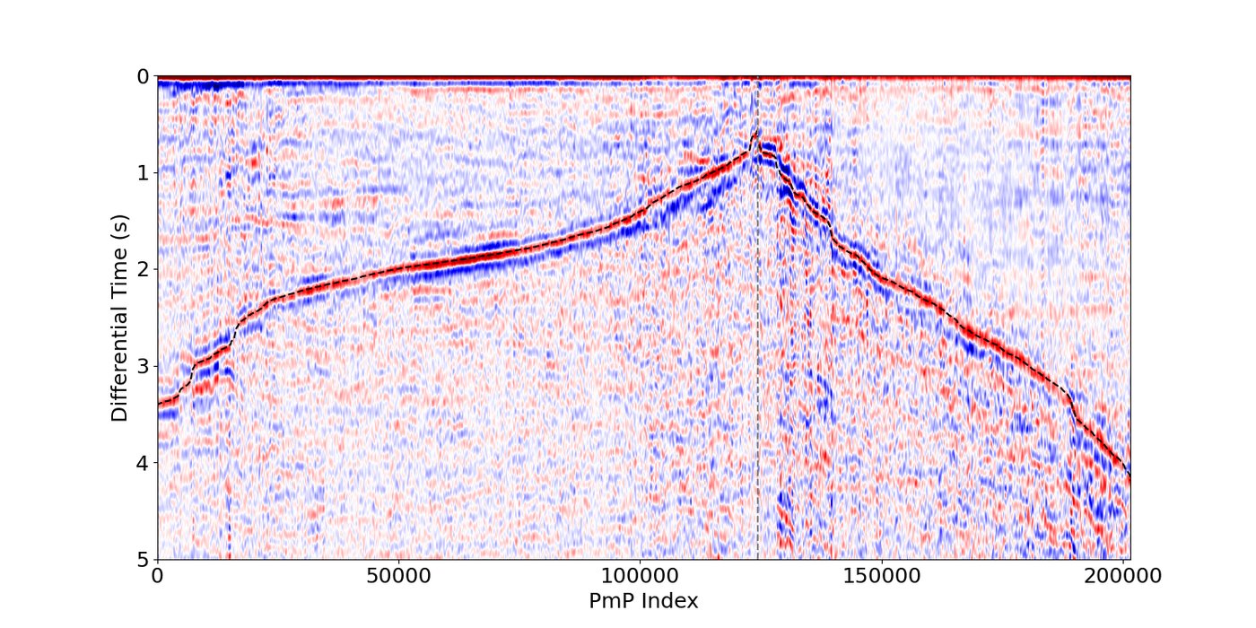
Fiber arrays record the wavefield every few meters over tens of kilometers for months to years, which lets us find sharp structural changes, damage zones, and velocity contrasts that sparse networks miss. These images constrain how plates deform and set the stage for how future earthquakes will rupture. Our imaging targets the Cascadia Subduction Zone, the San Andreas Fault, the Eastern California Shear Zone, and the Arizona Transition Zone.
Key questions
- How is crustal structure modified by faults, magmatic systems, and tectonic regimes?
- How does the fine-scale structure of slabs modify megathrust mechanics?
Earthquake Ruptures
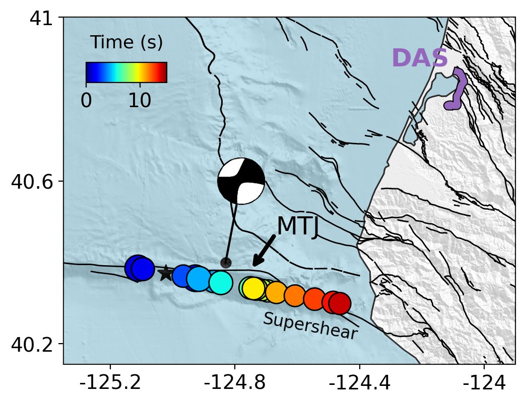
Earthquake ruptures are usually inferred from a limited number of stations far from the fault, which leaves many source properties poorly constrained. We approach this from two directions. Dense fiber arrays near the source let us image rupture directly, at high resolution. Low-dimensional, probabilistic source models let us compare ruptures across many earthquakes and uncover patterns in rupture behavior.
Key questions
- What is the relationship between fault structure and rupture dynamics?
- How much can a compact array near the source tell us in the first seconds of an earthquake?
Geohazards
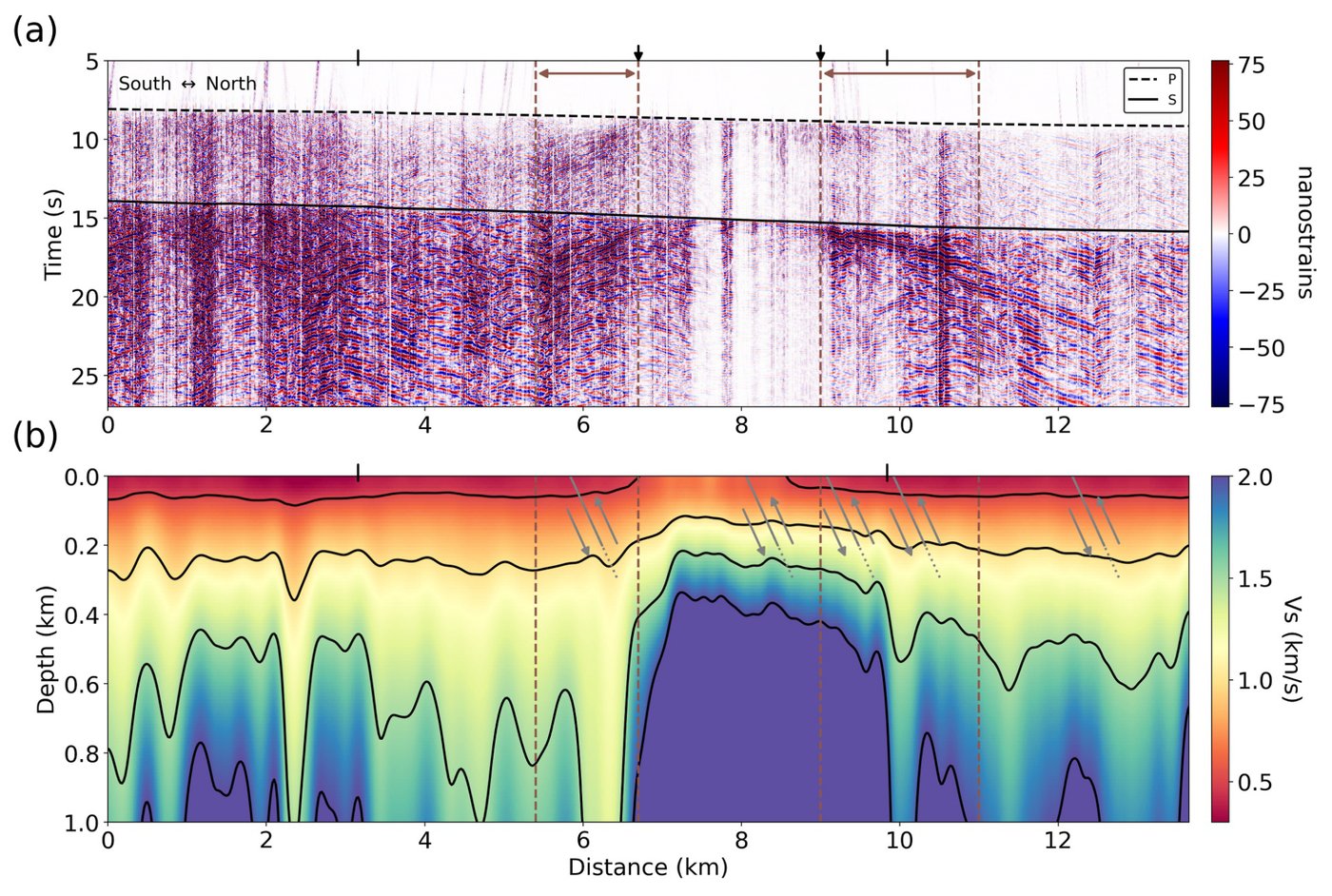
Many hazards are controlled by structure and processes near the surface of the Earth, and can be measured using nearby telecom fibers. Dense observations can record ground motion variability at the scale of a city block, which is important for buildings and infrastructure. Because fiber records continuously over tens of kilometers, it can also track changes through time, from magma moving beneath a volcano to rainfall and near-surface water content.
Key questions
- What controls ground motion amplification at the sub-kilometer scale?
- How can fibers densify our monitoring of hazardous hydrological processes?
Select publications
- Investigating Meter-Scale Wavefield Complexity and Amplification at the Basin Edge with a Fiber-Optic Array.
- Constraining Dike Opening Models with Seismic Velocity Changes Associated with the 2023-2024 Eruption Sequence on the Reykjanes Peninsula.
- Fault Zone Imaging with Distributed Acoustic Sensing: Body-to-Surface Wave Scattering.